Geophysics
Sonar detection
┗━━Sonar View SVF-1
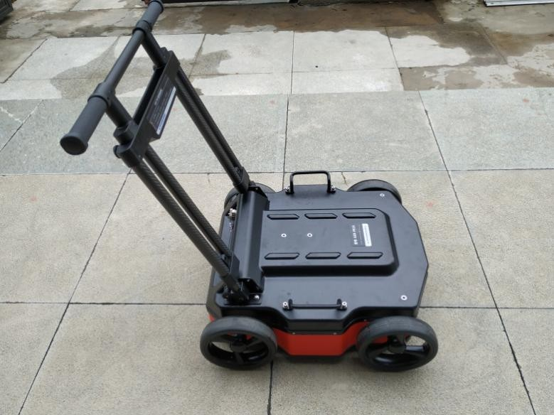
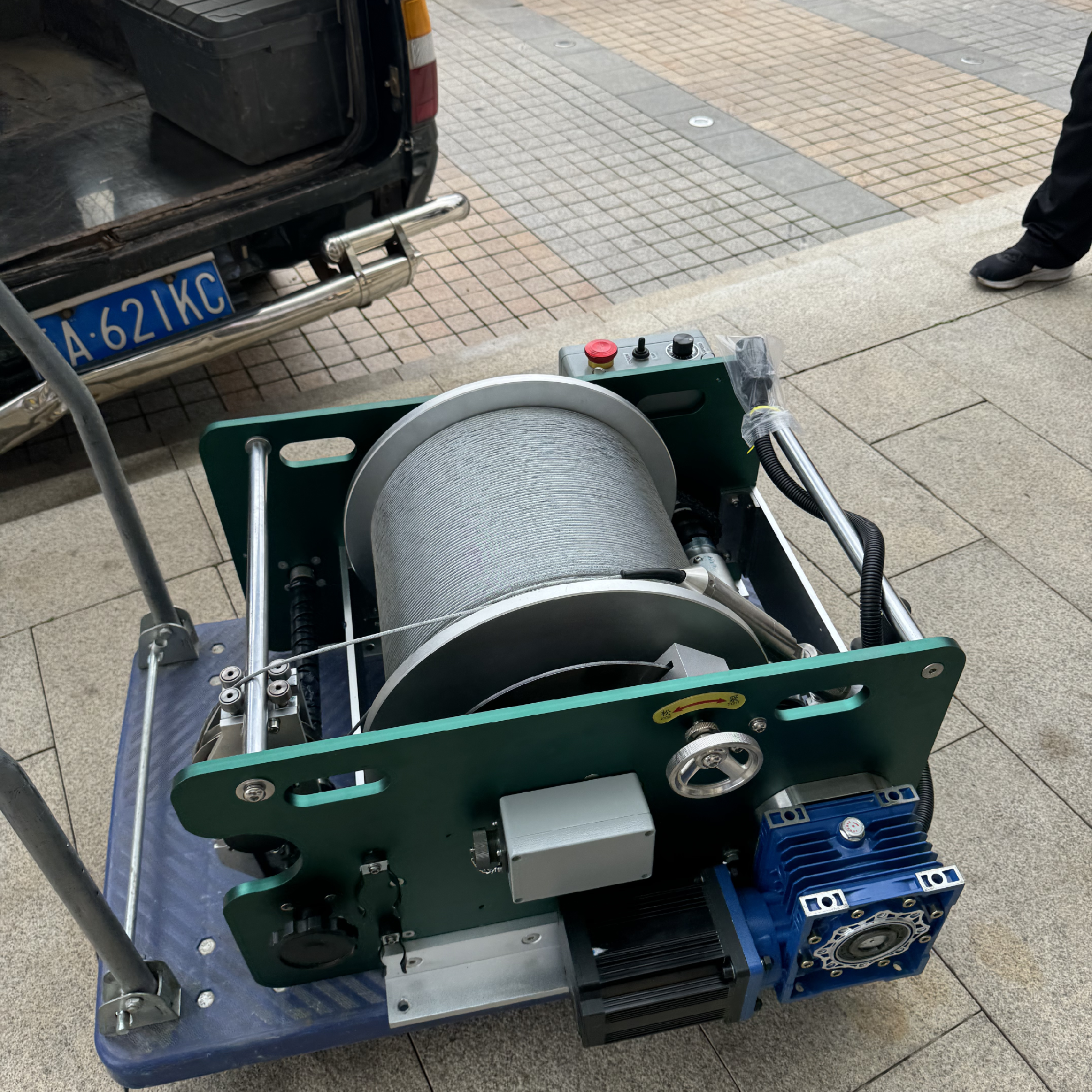
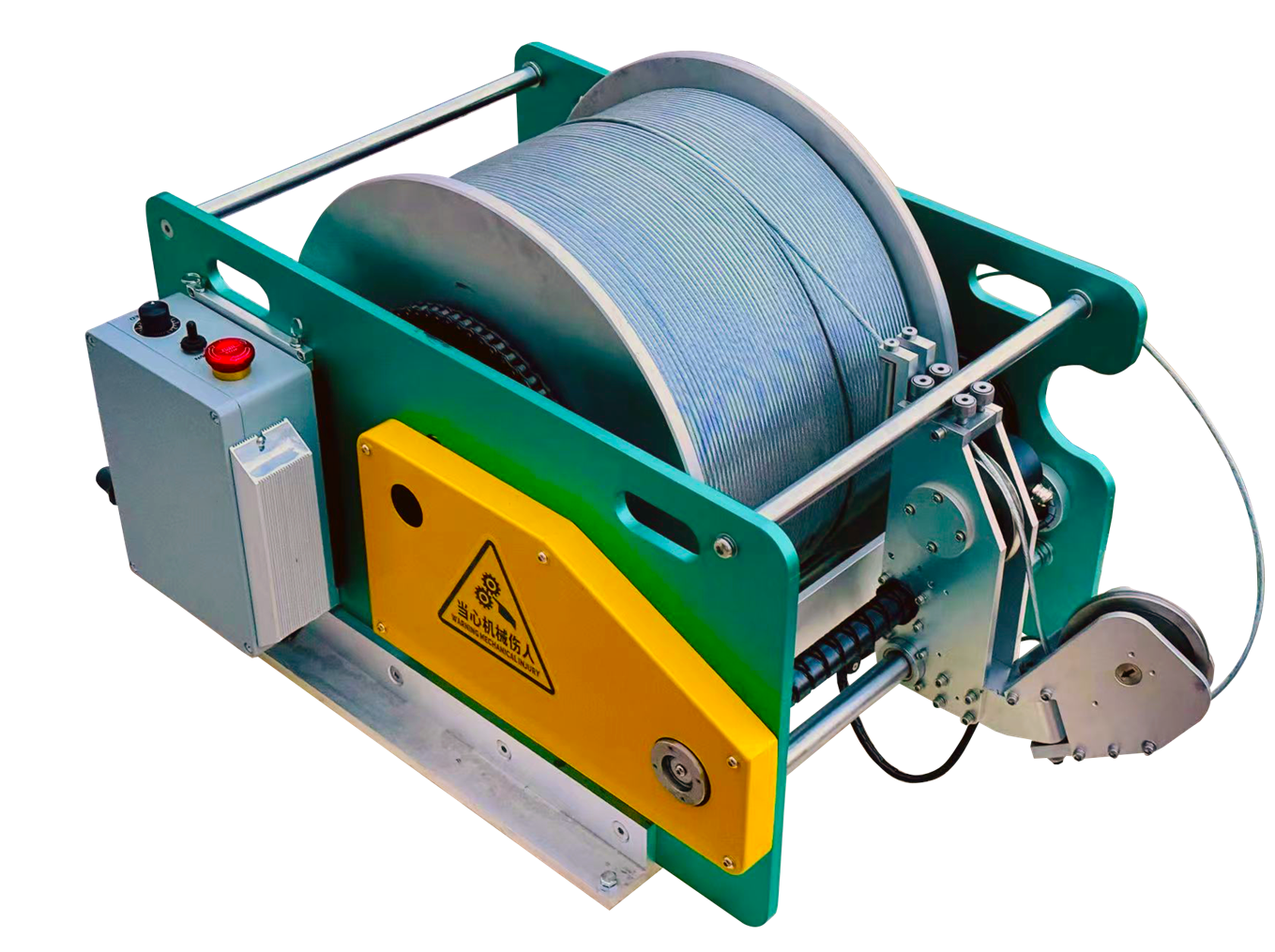
Logging Winch
┗━━W-600A Logging Winch
┗━━MINI Logging Winch
┗━━W-2000A Dual-Speed Logging Winch
Ground Penetrating Radars (GPR)
┗━━LGPR DF Series
┗━━LGPR 3D Three-dimensional Array Radar System
┗━━LGPR M40 4-channel GPR
Magnetotelluric Instruments (MT)
┗━━LMT3
Transient Electromagnetic Instruments (TEM)
┗━━LTEM-18
Seismographs
┗━━Multi-Channel High-Resolution Digital Seismographs
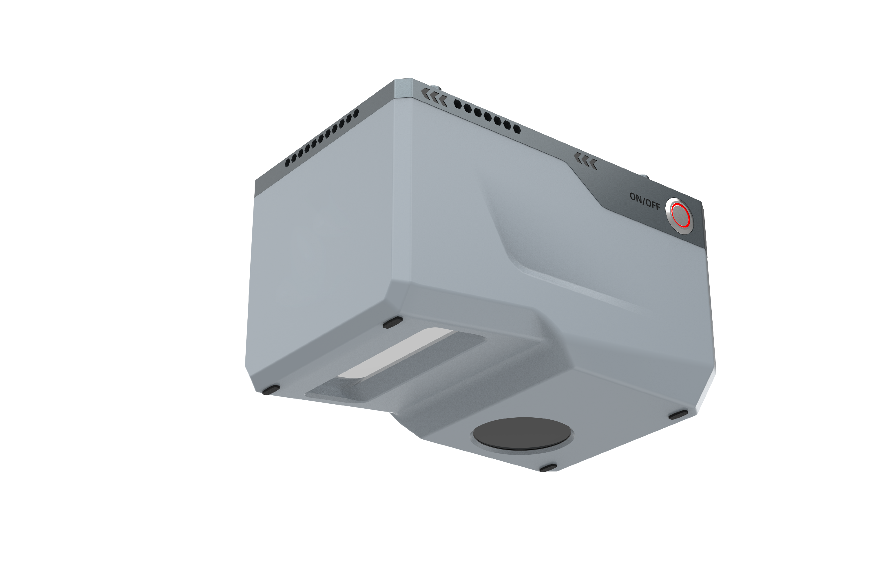
Borehole Logging systems
┗━━Integrated Logging
┗━━Probe
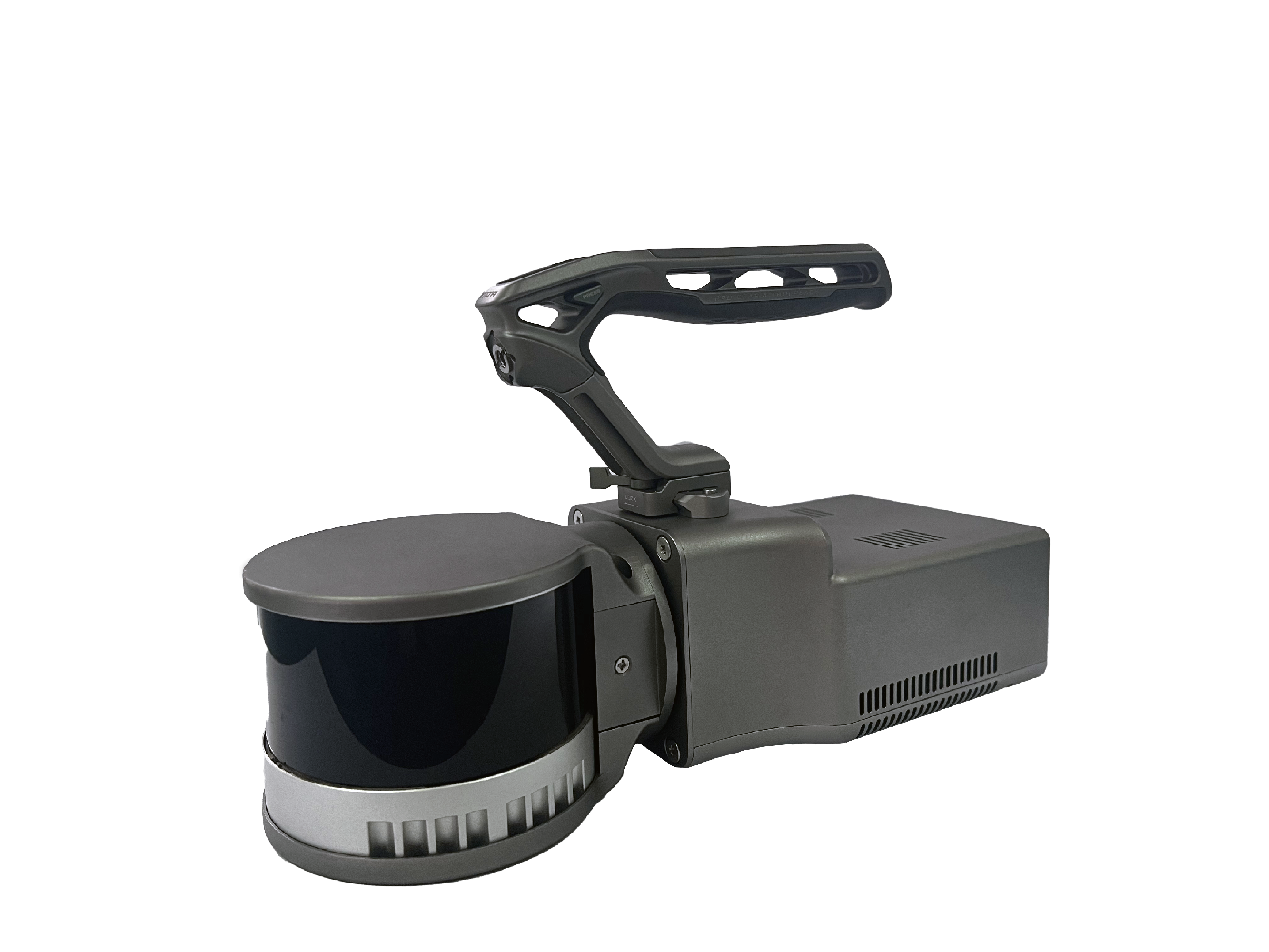
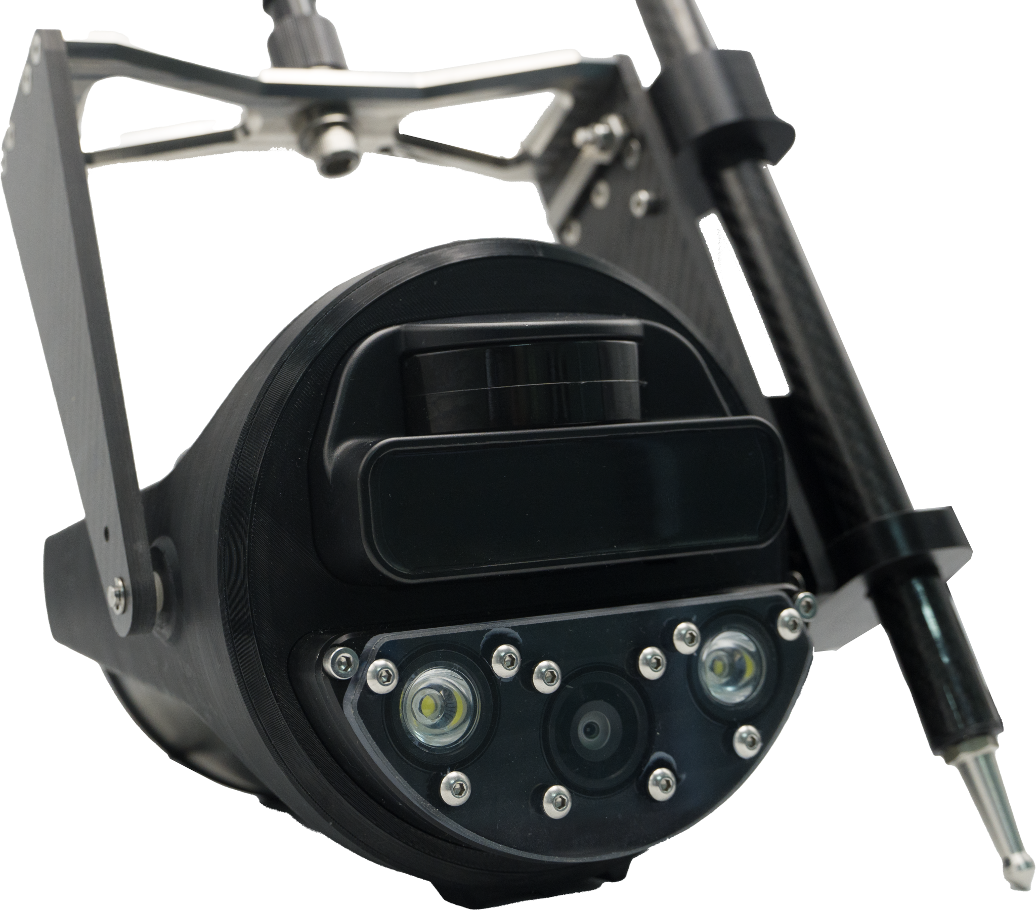
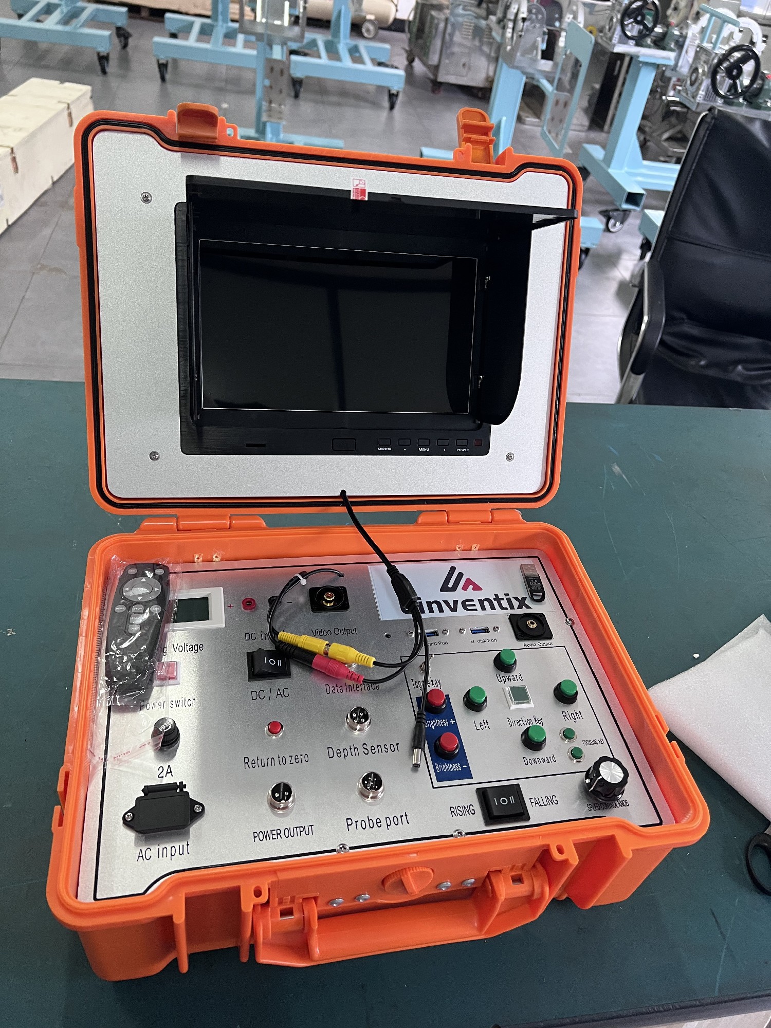
Borehole Camera
┗━━LBC 10-75 Borehole Camera System (with Auto Winch)
┗━━Optical Logging System LBC-Y2